Navigation Systems

Orientation at sea and safe cruising

Navigation equipment on board

The navigation on our cat has been developed and optimised over time. Old instruments have been replaced, some existing instruments and sensors have been integrated into the new on-board networks as far as possible and are now providing reliable information.
Some new things have also been added to the navigation equipment

  • Raymarine autopilot with remote control
  • Three Raymarine chart plotters inside and outside
  • Raymarine Quantum Radar
  • Navigation computer with Time Zero
  • AIS Class A
  • Raymarine anemometer
  • 2 depth sensors
  • 2 Silva Multicontrol
  • Two speedometers (Raymarine and Silva) in BB and STB hulls
  • 4 GPS antennas for various devices
  • VHF-Ukw radio station from Simrad (coastal radio)
  • Shortwave radio station with grounding in the hull and free-standing 7 m antenna (worldwide radio on KW)

From paper maps and baker's navigation to radio navigation, plotter and computer navigation.

Baker’s Navigation

When I started sailing on chartered ships, baker’s navigation was a procedure often practised. On the Ijsselmeer, you followed buoys within sight of the harbour, docked somewhere and went to the bakery. You could then read the location on the bag of bread.

Classic navigation

Joking aside: paper charts, logs, binoculars and compasses were the basis of clean navigation. Those who knew their way around still had a plumb weight with pilotage and could thus estimate well where they were.
Every sea mark was identified and served to estimate the position.
Especially sailing in the tidal flats with changing currents, sandbanks and fog trained the feeling for progress and position. I learned to estimate depths based on the ripples in the water depending on wind direction and the presumed current. Tide charts were very crude, but they could be usefully supplemented by the personal notes in the navigation notebooks. On the crossing to England we deliberately took a slightly wrong course and then turned off in the right direction as soon as we could see the coast. If we had navigated exactly to the destination, we would not have known where it was – to the right or to the left?

First radio navigation

Then came radio navigation, using cross bearings on short-wave direction-finding transmitters. Headphones and a knowing look on the face when turning the cross-frame direction finder antenna were part of the magical appearance of the navigator.

The subsequent electronic navigation with Loran transmitters and the accompanying charts was a science in itself. Everything became easier and mostly more accurate with the first GPS receivers that reproduced the coordinates. It was still a long way from there to today’s plotters. On the high seas, when sailing in the Canary Islands, I still determined my location with the sextant using a sun shot, chronometer and tables. The first few times I was accurate to about 100 nm. Only after weeks of daily practice did I become accurate to 5 nm and was very proud of that. The crowning glory of this astro-navigation was an ephemeris pocket calculator, which calculated the location coordinates with a programme after entering the angles and times. Unfortunately, the little magic calculator sometimes forgot its programme when the batteries were changed and then had to be sent in. I still have this sextant today. Unfortunately, my Russian ship’s chronometer was stolen. The ephemeris tables are also only available for download on the internet.

Seekartennavigation, Zirkel, Logbuch
Steckenmessung mit der Logge mit Geschwindigkeitsanzeige
Postionsbestimmung mit dem Sextanten

We have one rule on board: redundancy.

As map plotter and for navigation we use Time Zero (formerly MaxSea) software on a Windows computer (industry standard with 4xi7 processors, permanently installed, without cooling and with SSD memory).

All Raymarine information sources such as wind, depth, speed and AIS are connected and displayed.
Weather routing is also done via this with two different data sources: Seaman Weather Forecast from Kiel and Time Zero Weather Routing from the USA. The nautical charts are from Navionics.

As 1st backup
is the Raymarine Axiom radar plotter, also with Navionics charts and connection to all data sources as well as in the network with the two smaller plotters, which are permanently installed at both helm stations.

As a 2nd backup
we use 3 different IPads which can be installed mobile inside and outside at the steering positions. Raymarine navigation can be mirrored on them.

Most of the time we use the Navionics software for autorouting and planning tides when drying out. If I could choose again, I would probably cut out all the Raymarine stuff and go with a Furuno radar exclusively on Time Zero and have the iPads as a backup.

Routen und Wetterplanung mit Time Zero und Wettterdaten von Wetterwelt
Weather Routing with Time Zero
Neuer Kartenplotter von Raymarine. Redundante Navigation mit PC und iPad
New chartplotter from Raymarine. Redundant navigation with PC and iPad

Good experiences with the iPad

When we navigated the ROTER SAND in 2012 in the St. Lawrence River towards Quebec, we used comparable equipment. In the St. Lawrence River, there are areas in the stream during low tide with 14 knots of current downstream and with rising tide there were 7 knots of current also downstream. So we should have been faster at anchor with our classic traditional ketch than under engine and/or sail!

The only way to get ahead at all was to use the tidal reverse currents between the rocks on the 5 m line. However, the pilot’s recommendation from big shipping was “Keep a minimum distance of two miles from the rocks!” – then he went to sleep. I sneeked next to the rocks under full sail and with with full throttle ahead thus we managed up to 80 nm a day. I had learned this technique decades ago while sailing in a small sailboat on the Rhine against the current and around the groynes.

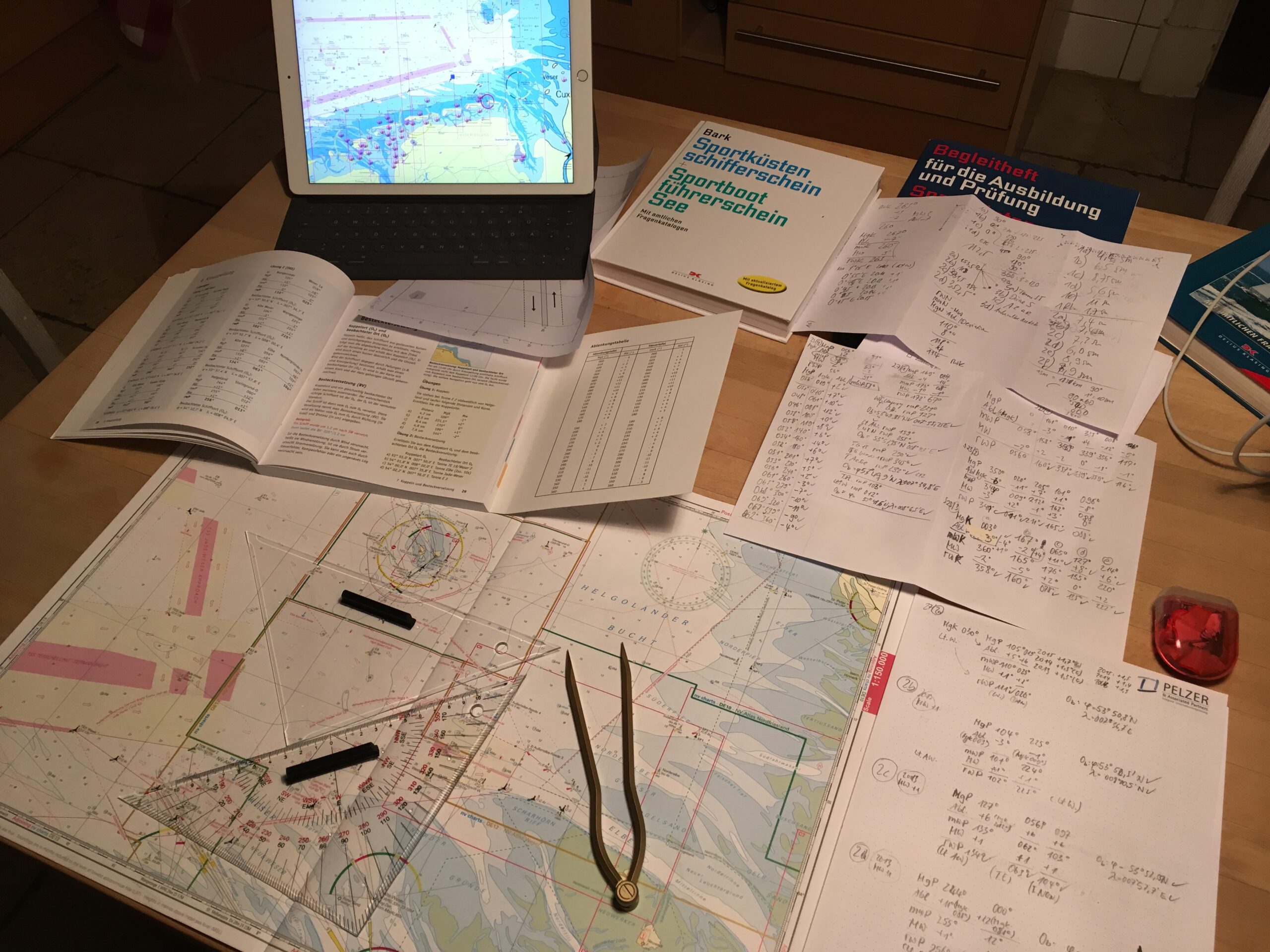
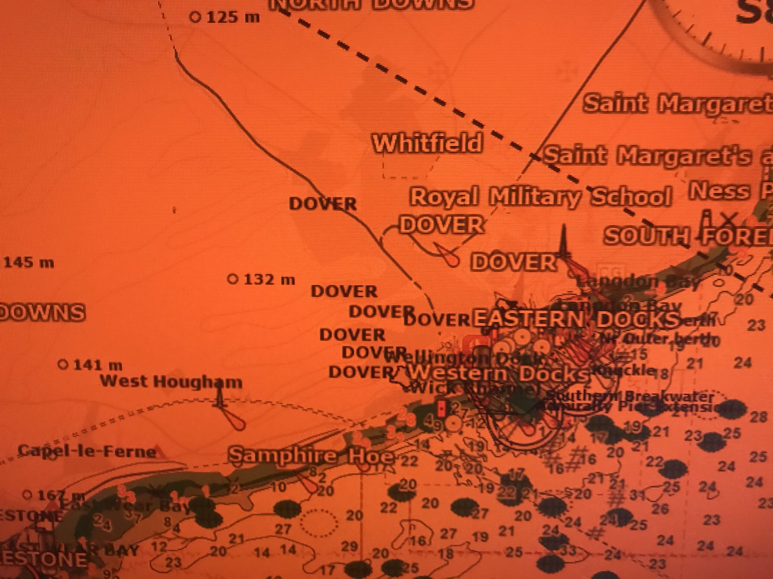
To execute this canoeing tactic safely, you need very accurate charts and the exact position. My little iPad 2 was the most accurate. On it, the 5-m line was clearly visible and the position corresponded exactly to the gurgling and gurgling you could hear outside. Since this experience, I always have the iPad and the matching Navionics app with me.

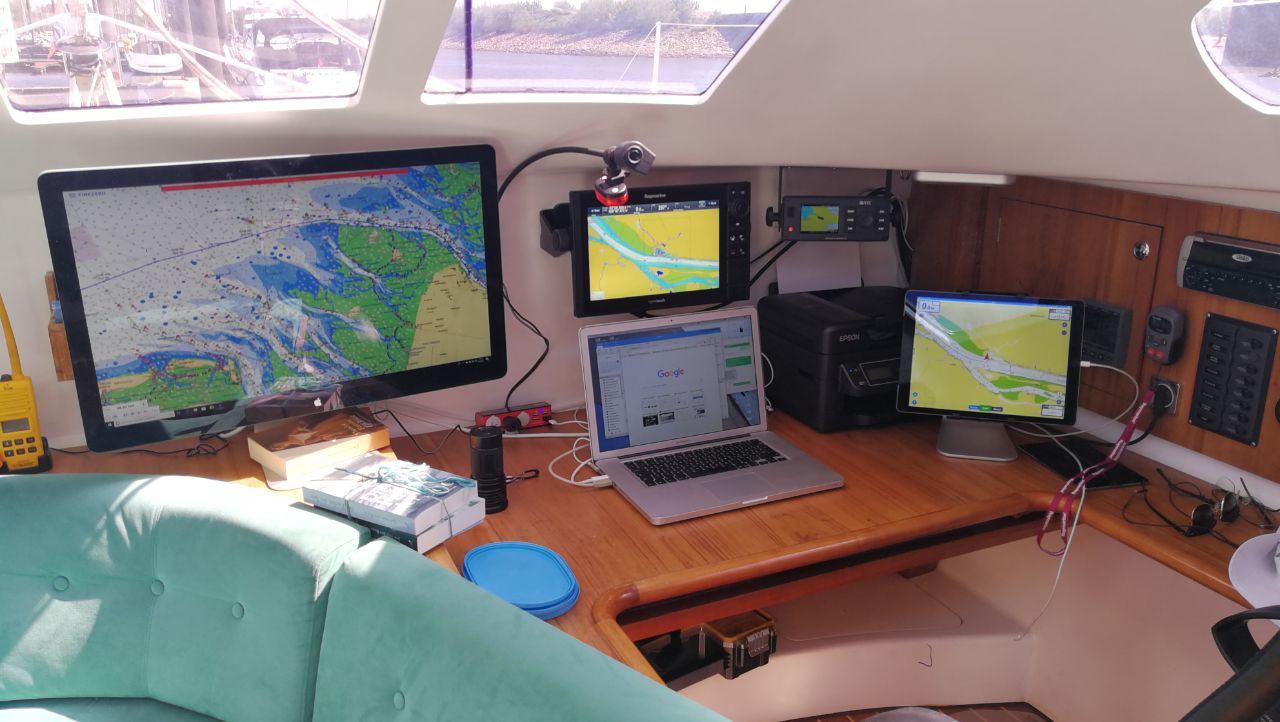
The device also runs the map software from NV Charts. It goes well with the paper maps we have on board from NV, and it comes free with the purchase of the paper maps. However, the scanned maps are clearly inferior to Time Zero’s vector maps in daily use.

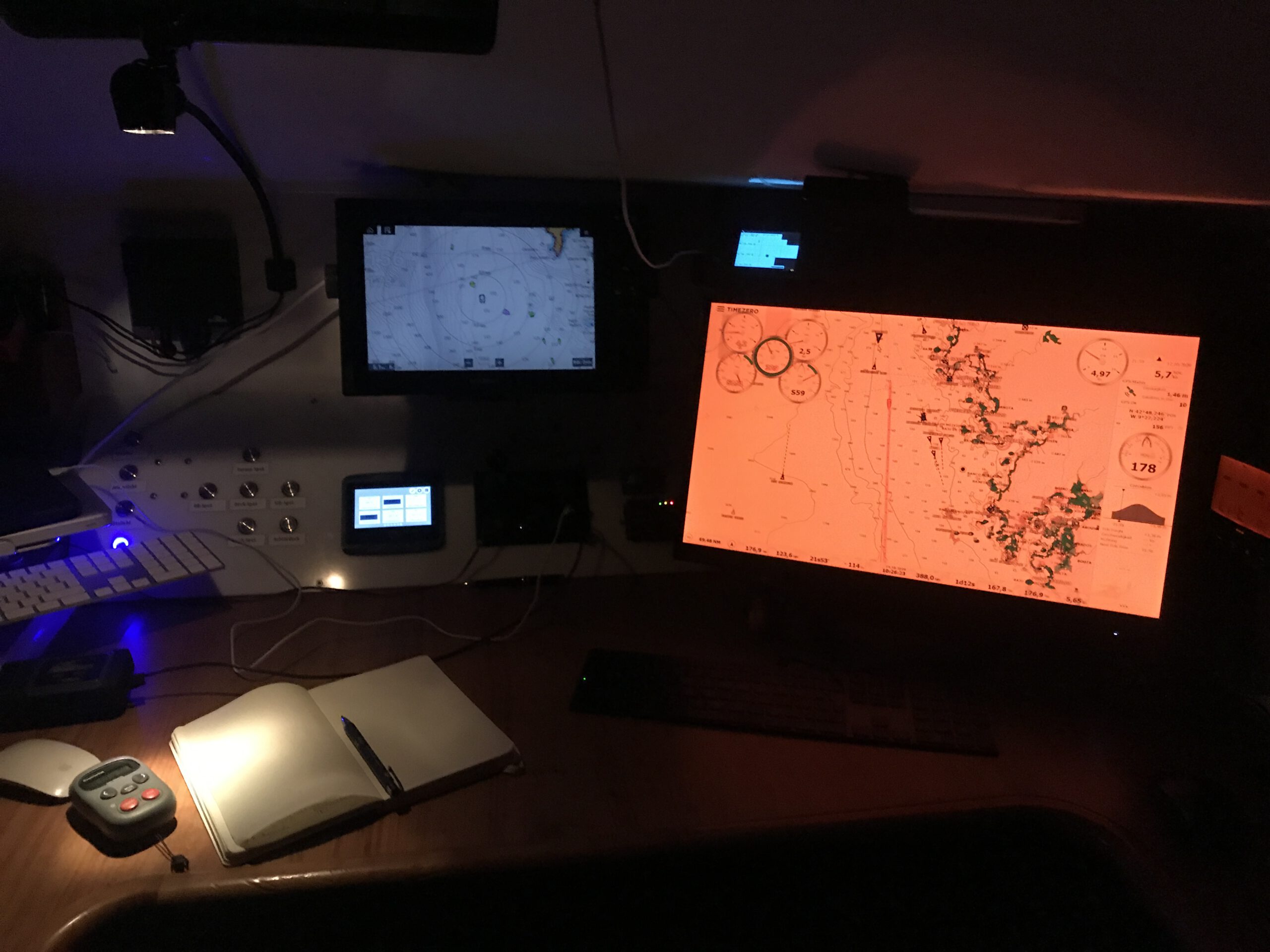
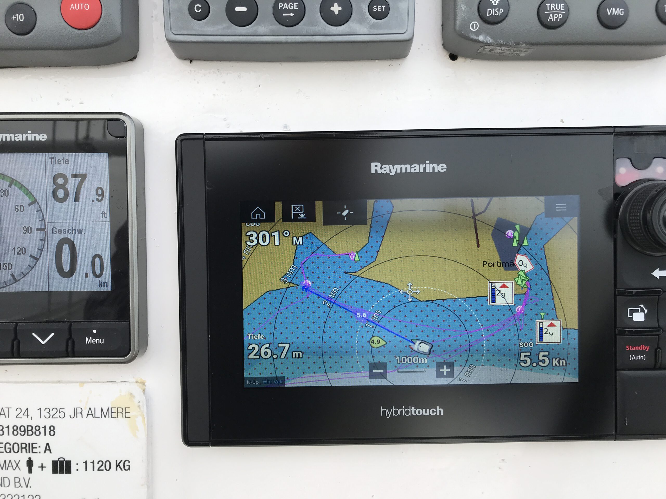
Time Zero PC software

For us, the Time Zero software is so helpful because it has the ability to accurately assess other traffic with the Closest Point of Approach (CPA) feature and avoid collision hazards. In this way, we notice even the smallest course changes of large vessels on our approach after contact with our active radar reflector.

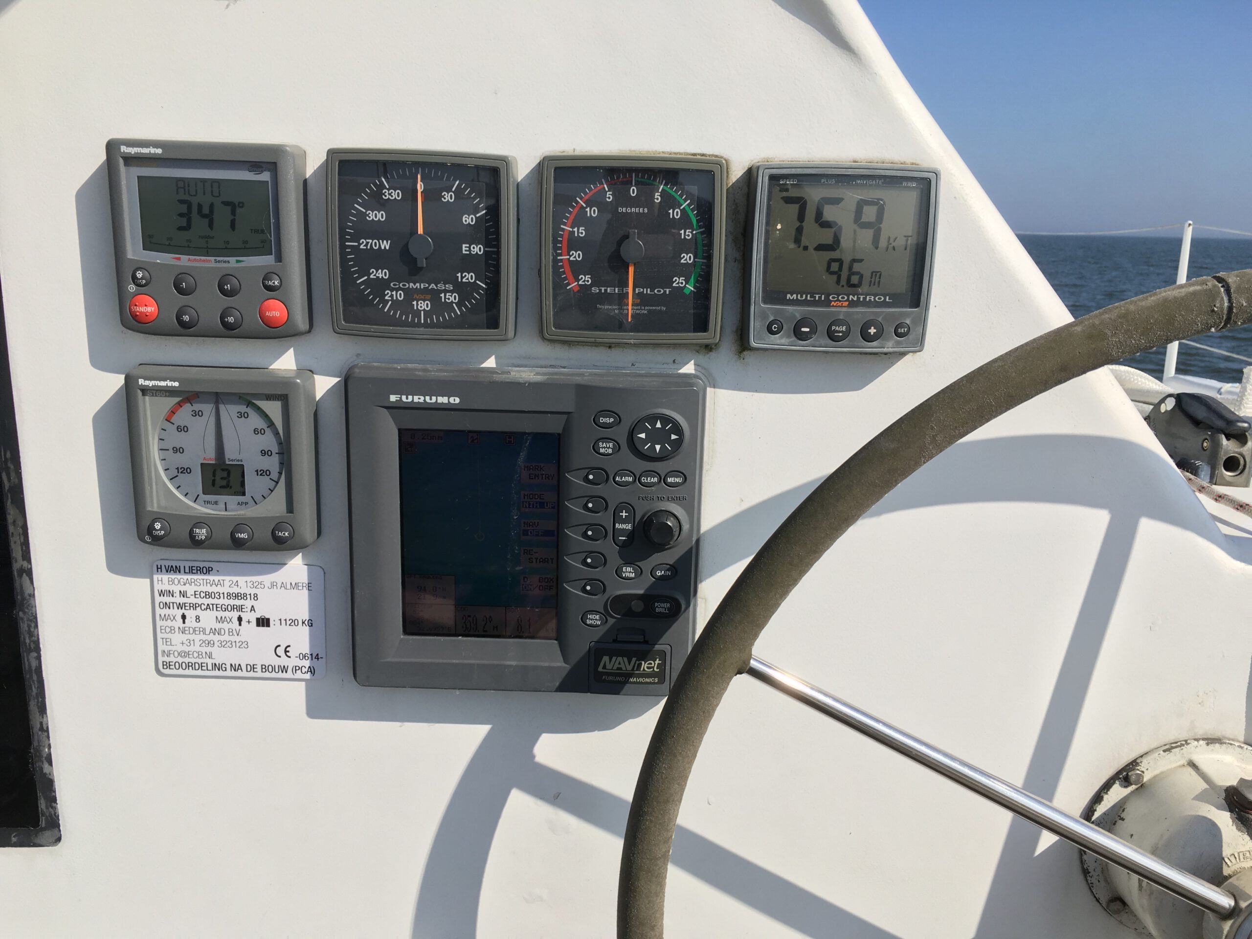
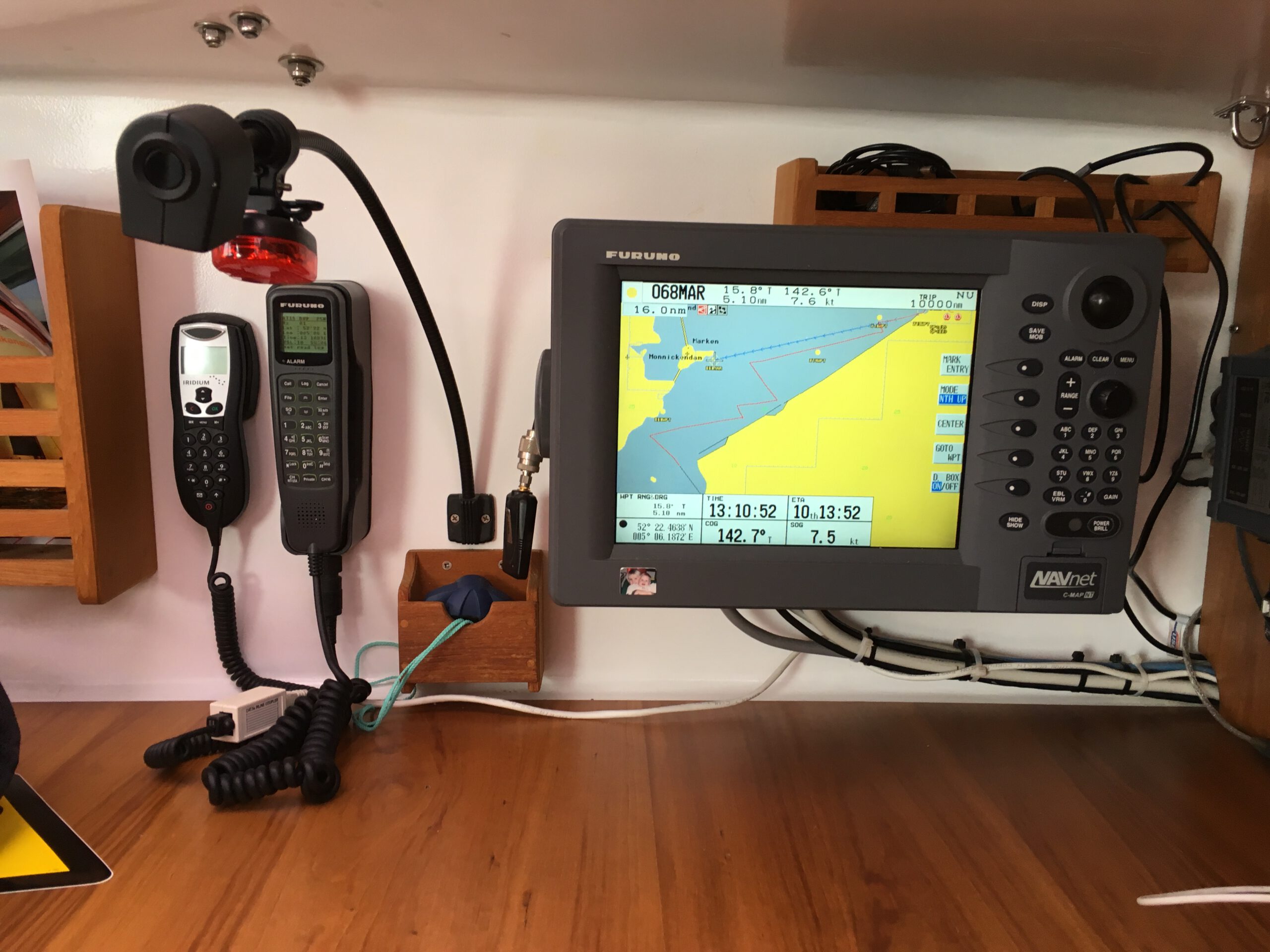
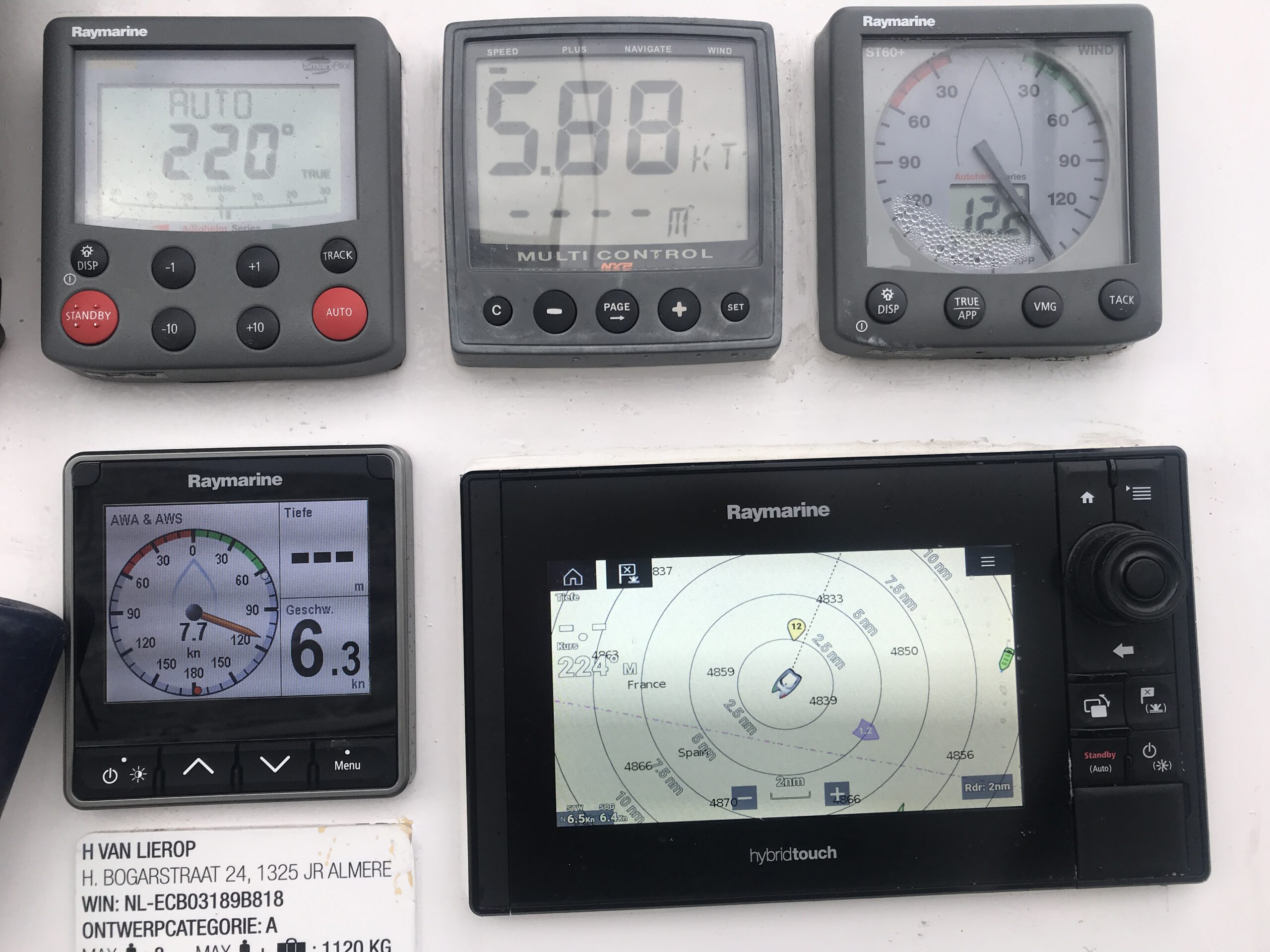
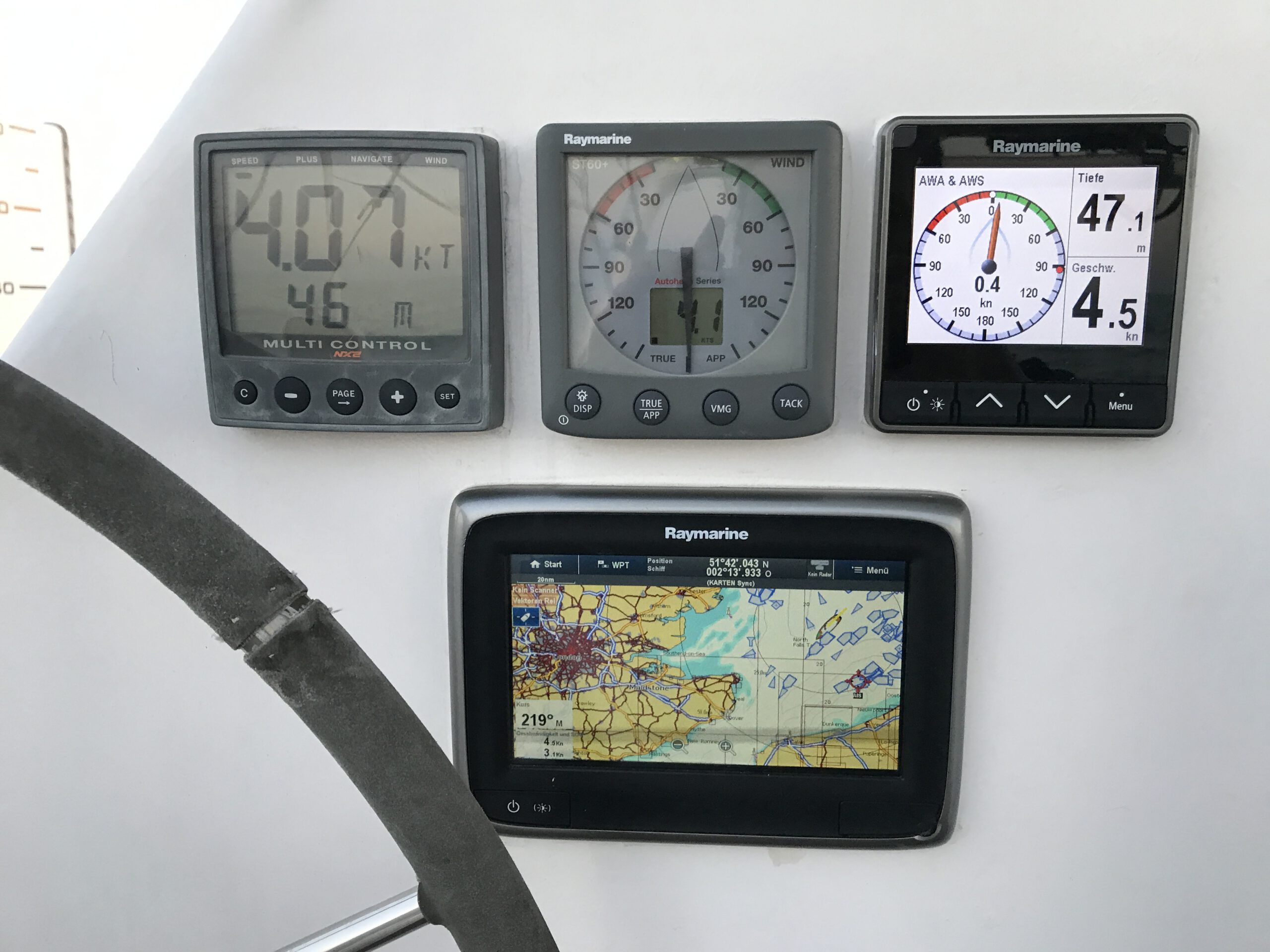
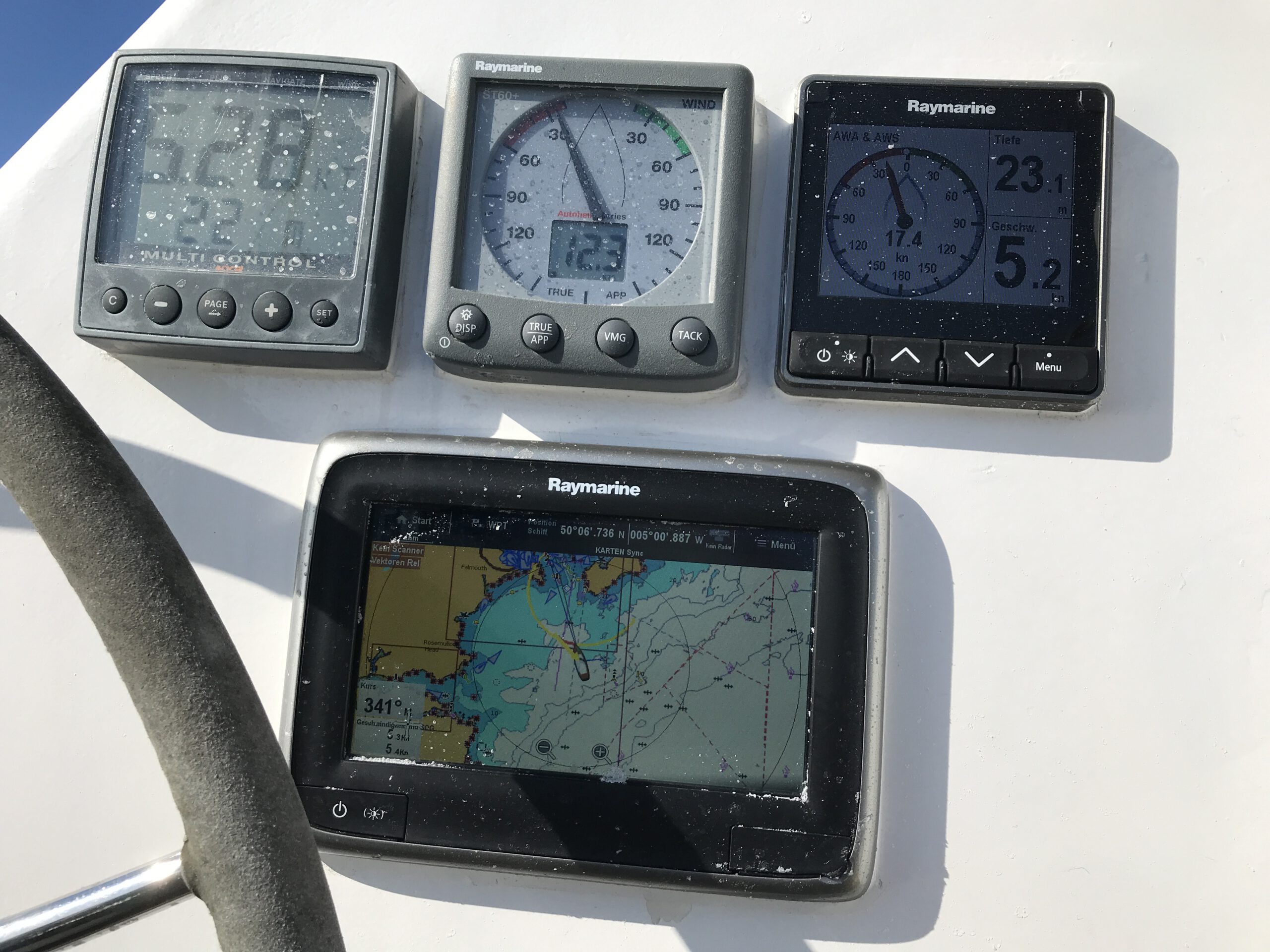
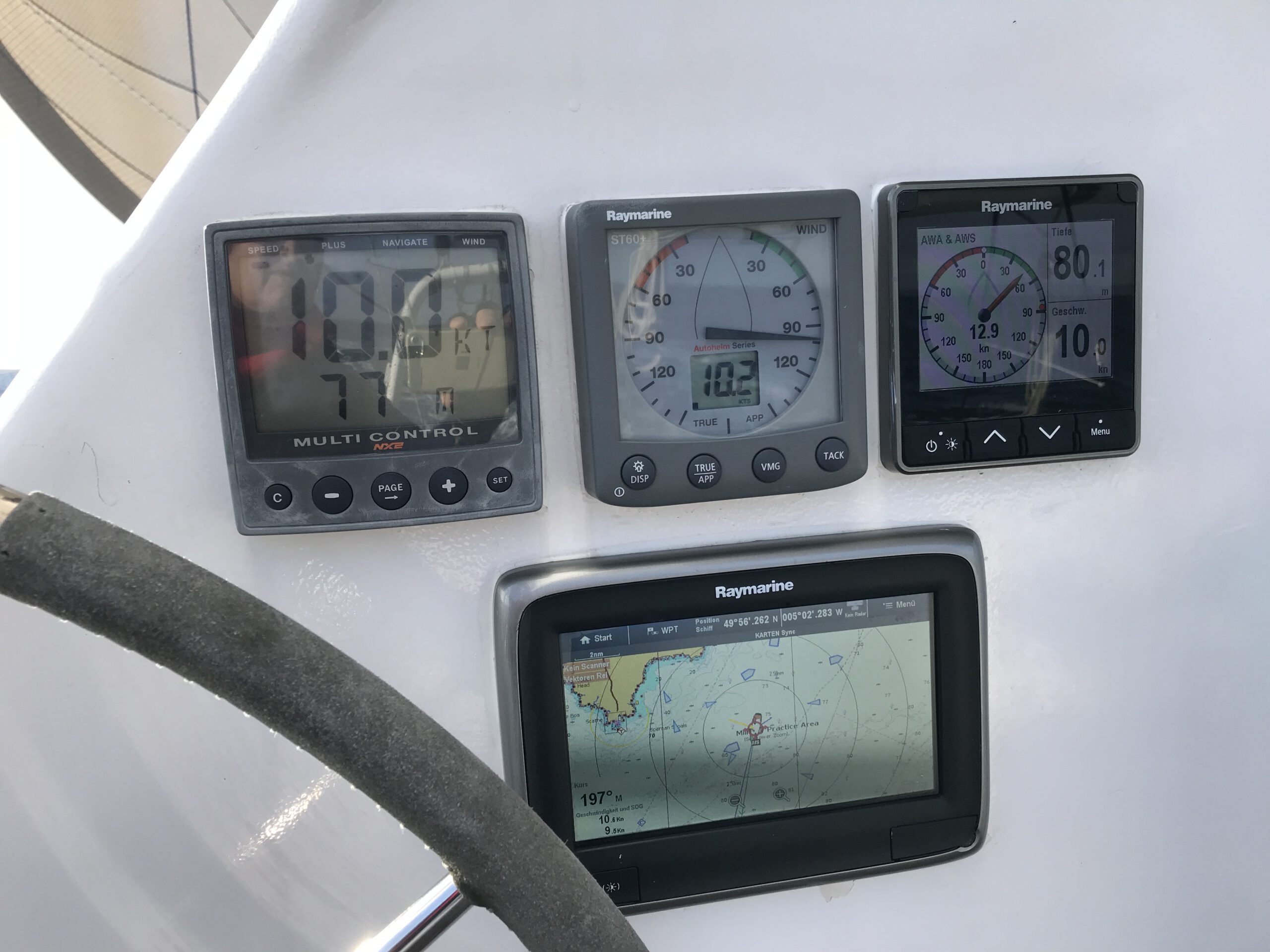
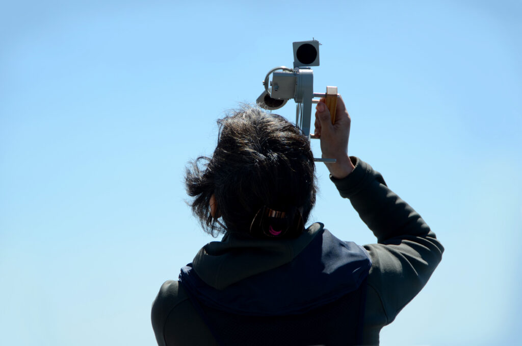
Radar Raymarine Quantum II

As a supplement, I then use the radar to detect small craft and fishermen without AIS, as well as larger flotsam. The digital Raymarine Quantum II radar with Doppler function has an excellent resolution and shows vehicles and buoys up to a distance of 10 metres. This is very helpful in thick fog and at night in narrow fairways. The plotter differentiates between fixed and moving targets (in advance and as an opposite commer). You can also use the CPA function, but only for individual marked targets. Both systems together give a reliable picture of the surroundings, especially at night.

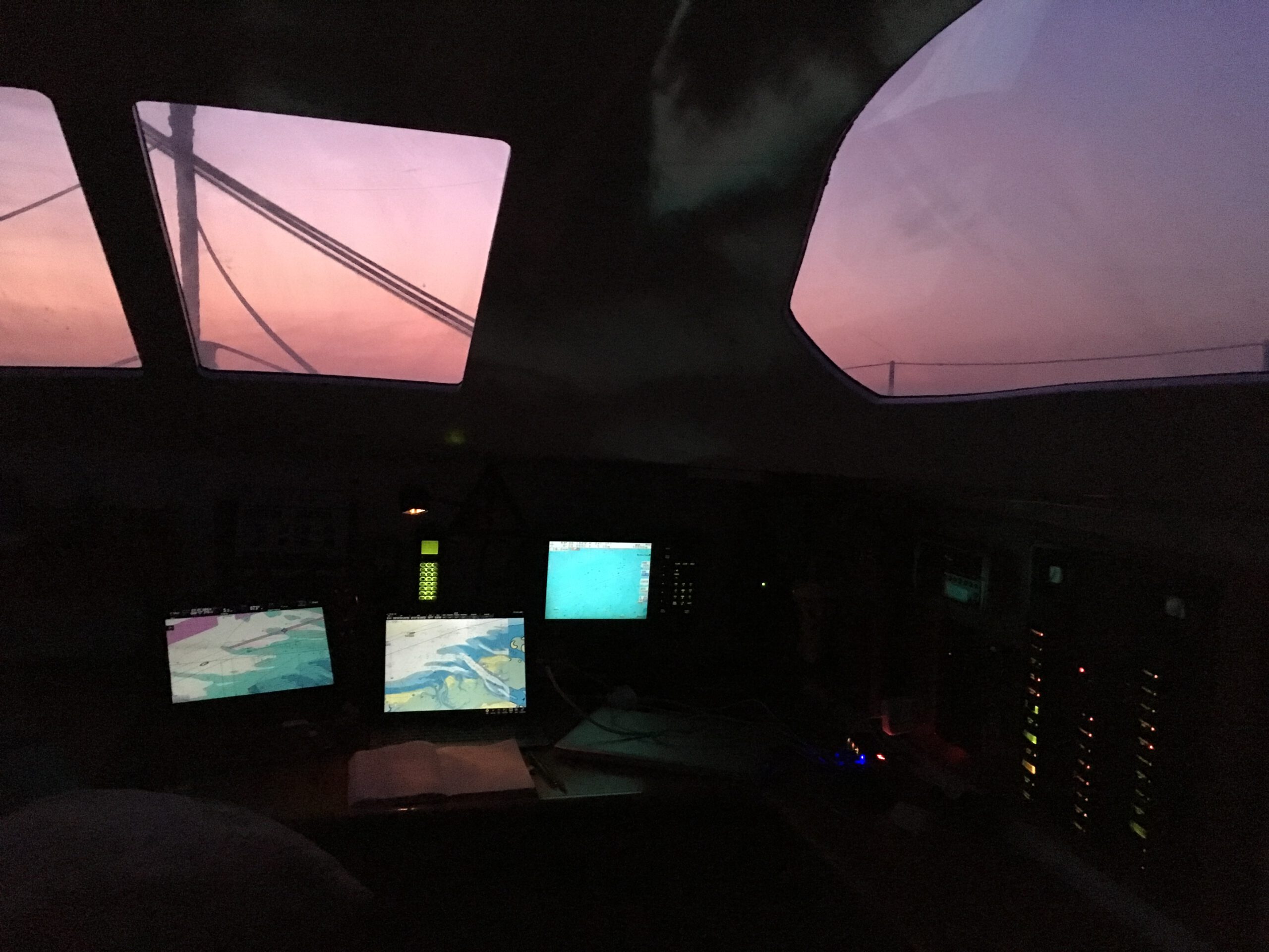
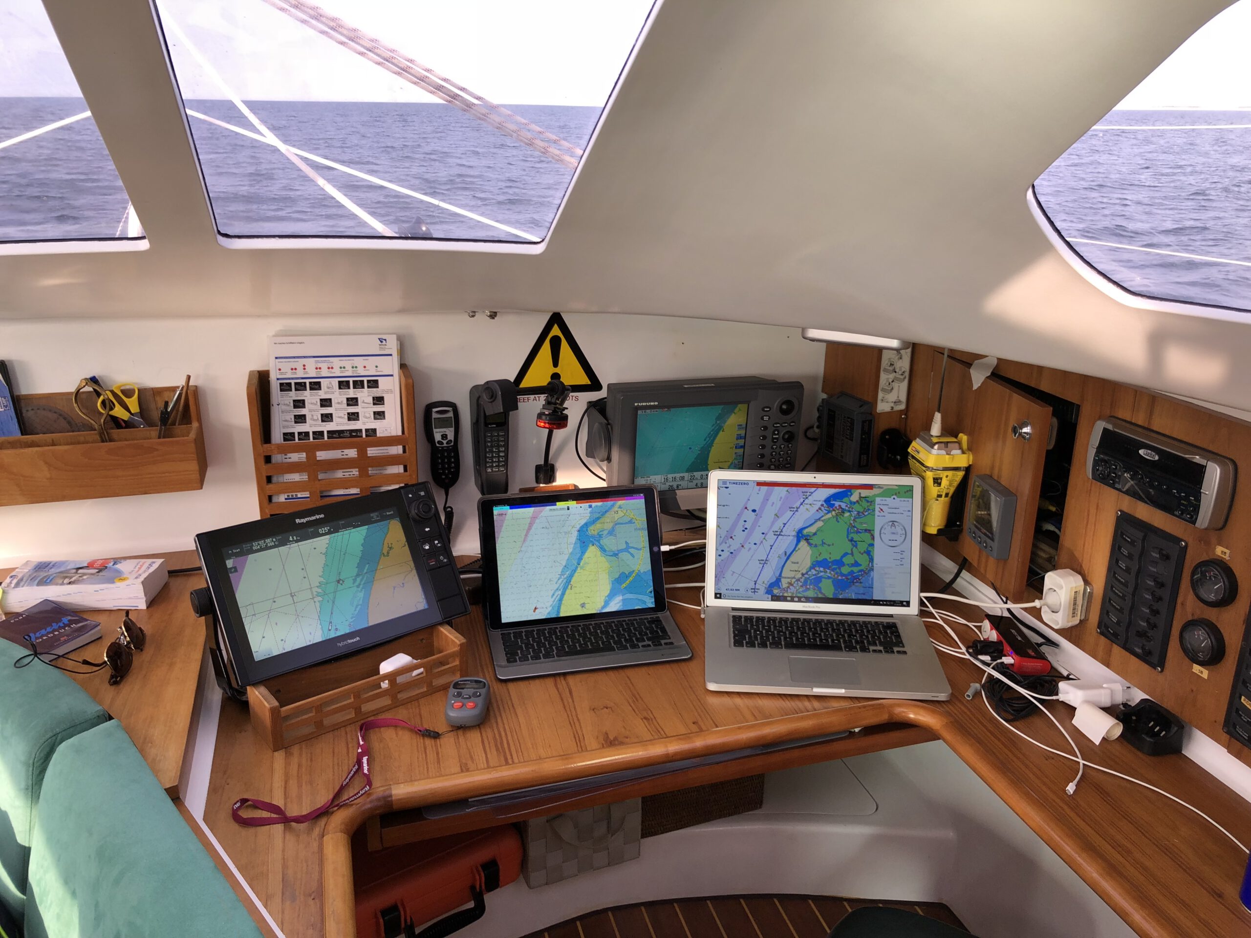
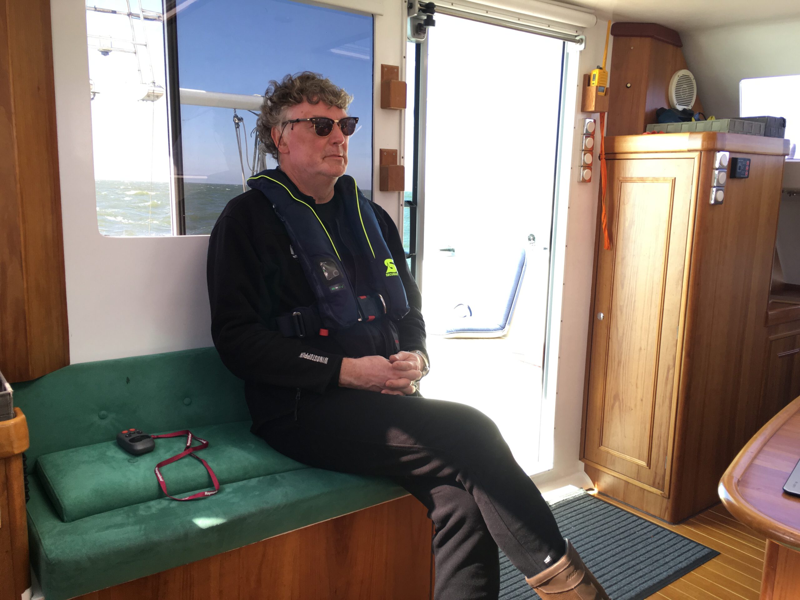
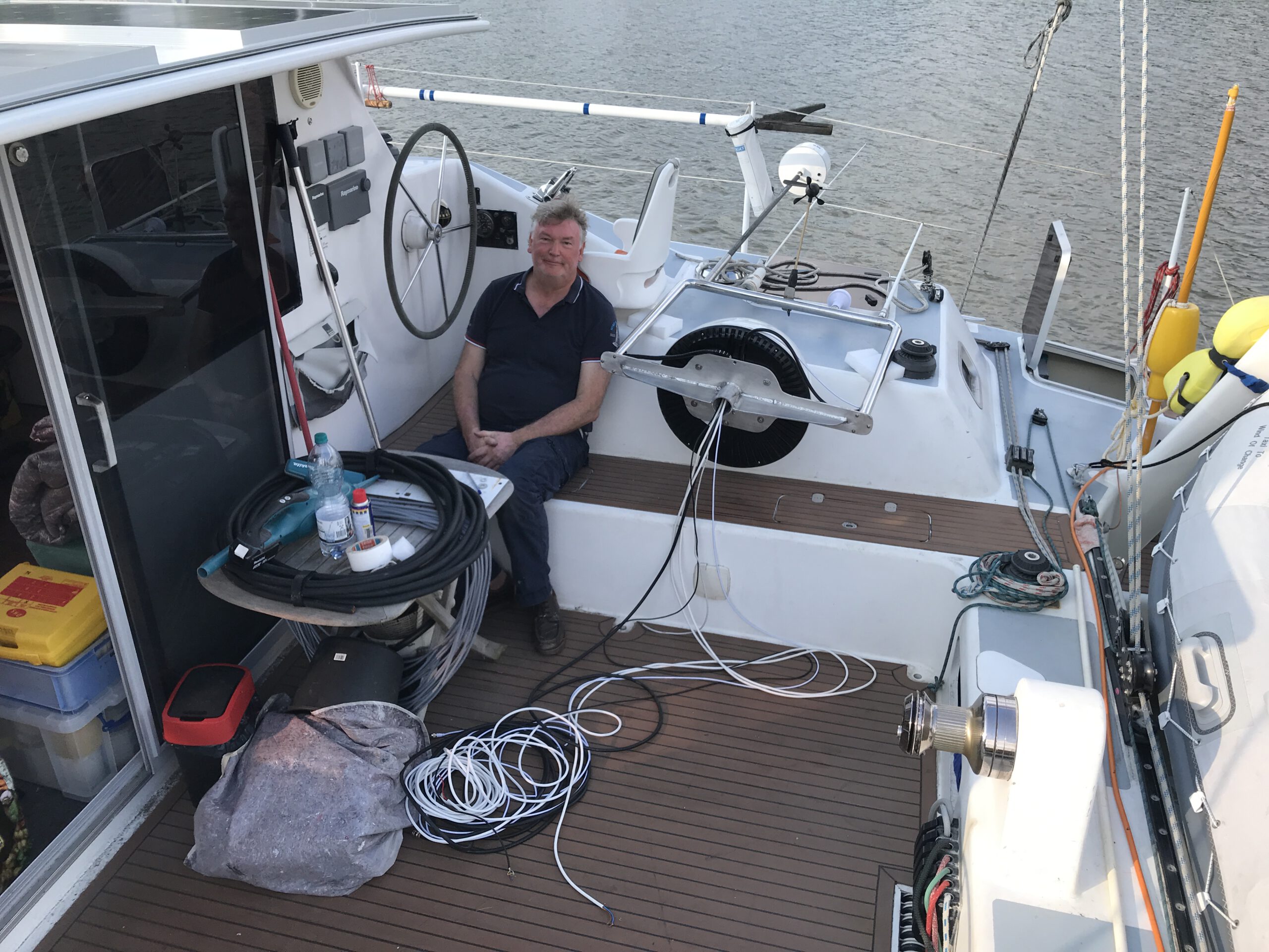
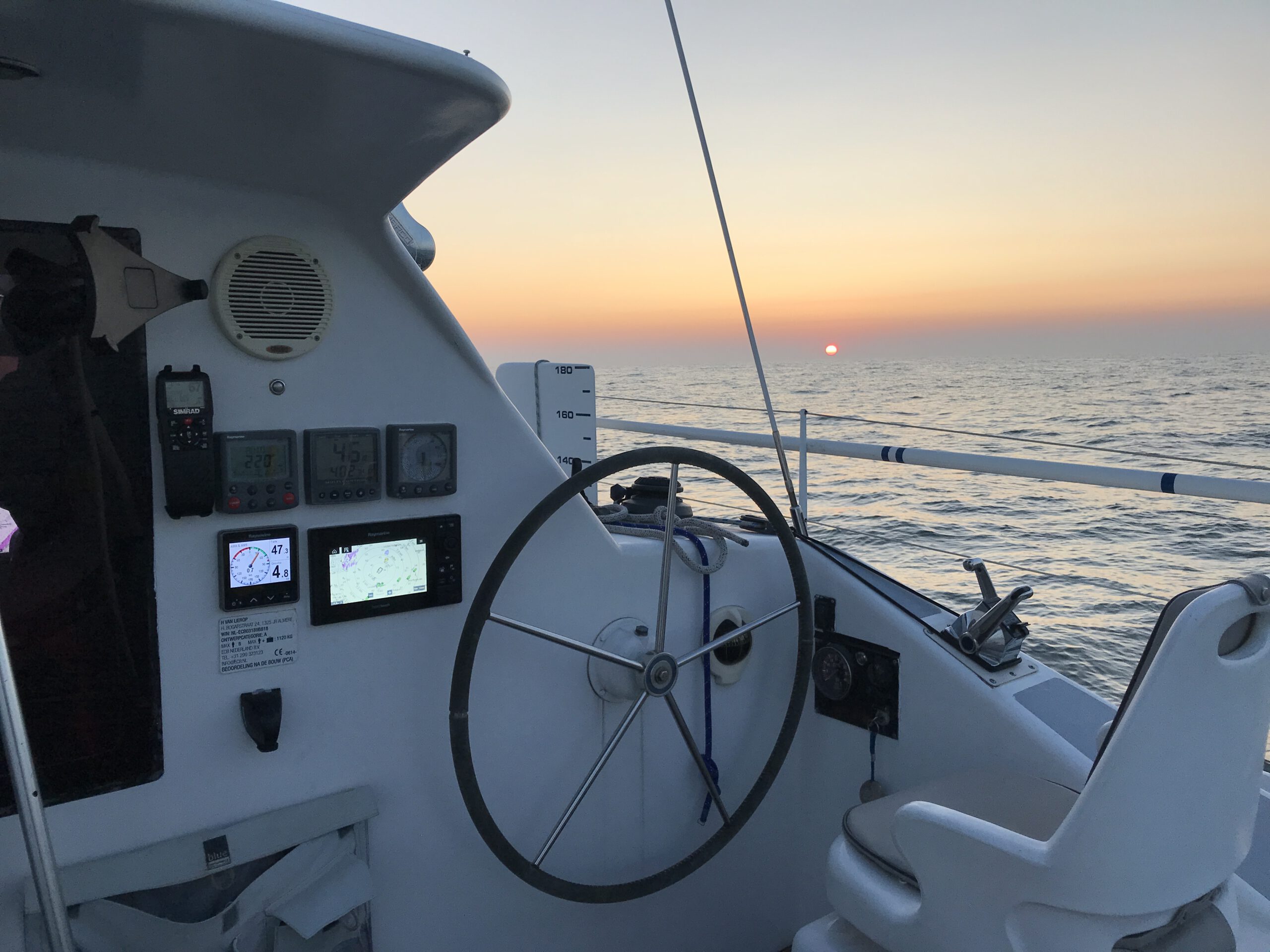
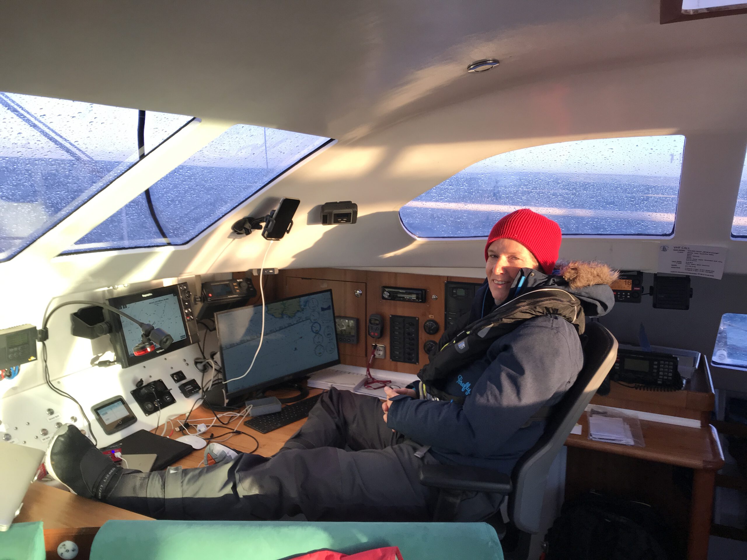
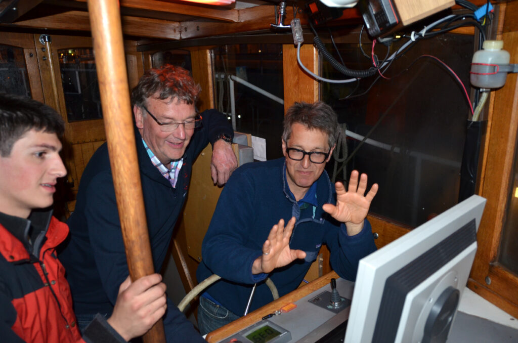
Together with the radio within reach, we sit very comfortably in the skipper’s chair and can steer the boat protected from the weather. When we are approaching our destination, we switch to the outside
to the helm stations at BB or Stb depending on the approach.

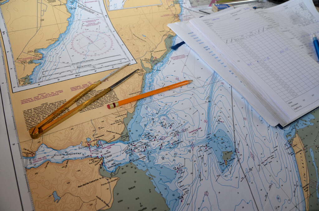
Basically, our navigation is done in 5 steps.

  1. Determine destination: direction, land and possible port priorities, planned distance and the necessary travel time in bandwidths.
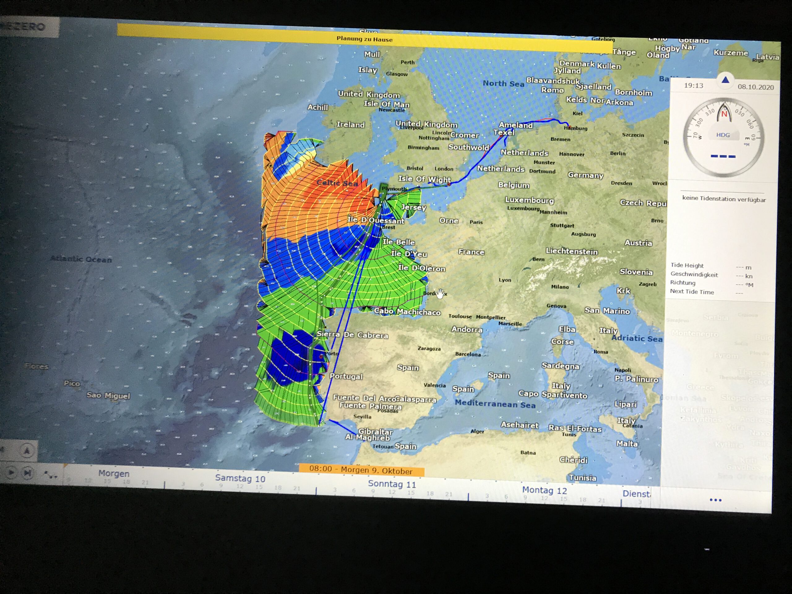
  2. Autorouting and checking the best route according to navigational aspects (traffic, risk areas, restricted zones, interesting things).
  3. Weather routing according to three systems (Seaman Wetterwelt Kiel; MaxSea / Time Zero; Marinetraffic forecast), observe the trends for 3 days and then consider the starting time.
  4. Prepare ship and crew, stock up on fresh provisions, system check, bunker diesel and water.
  5. Set a precise departure time, clear out and cast off. Check navigation regularly according to reality (at least always at the change of watch).
Wetterrouting und Streckendiskussion auf der Roter Sand
Weather routing and discussion about the track layout